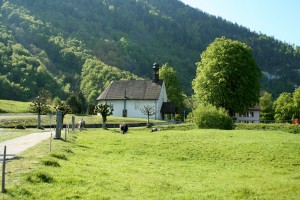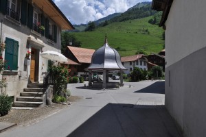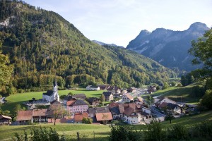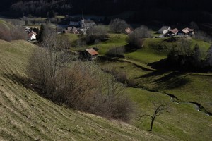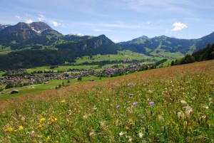
UNESCO Biosphäre Entlebuch
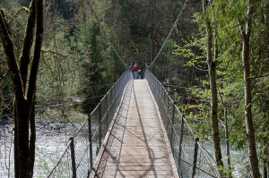
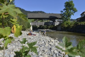
Emmen riverside path
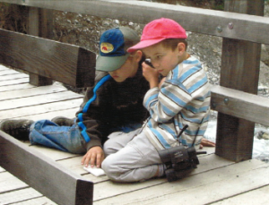
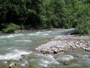
This suggested part of the Emmen riverside path from Schüpfheim to Entlebuch is ideally suitable for a family walk. At every metre the river sounds a little different and cloaks the walker in gentle rapture.
Hiking trail
Time required: 4 hoursLength: 7.00km