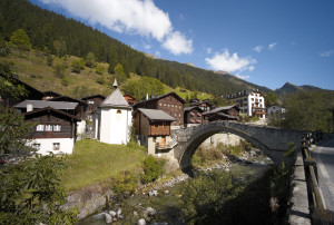
Landschaftspark Binntal
Ausserbinn – Steinmatten
Open
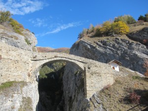
The shortest route between Ausserbinn and Steinmatten is to take the motorway to "Lätze Üsserbi" and then continue on the hiking trail to the Steinmatten tunnel portal
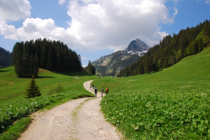
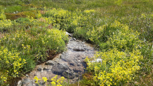
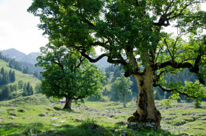
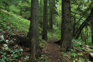
Hiking trail
Time required: 40 minutesLength: 1.80km