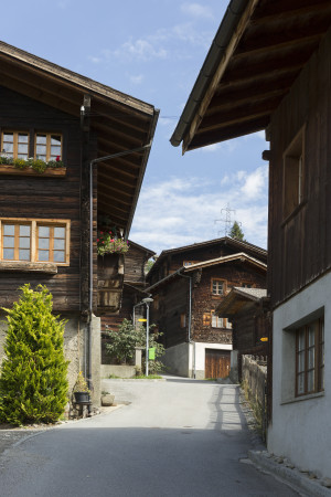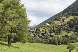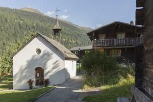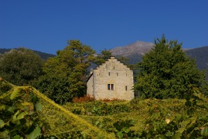
Parc régional Chasseral
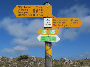
Chemins Chouettes
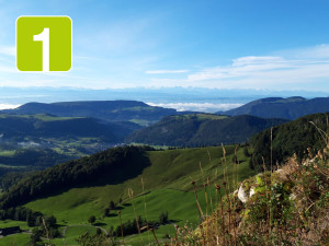
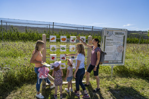
Sept itinéraires écotouristiques de randonnée, qui emmènent à la découverte du patrimoine culturel et naturel du Val-de-Ruz. Des panneaux didactiques renseignent les voyageurs.
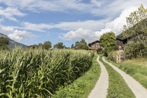
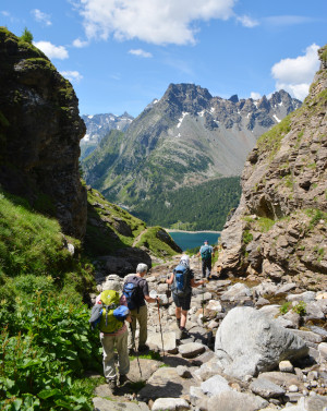
Hiking trail
Time required: 3 hoursLength: 10.00km