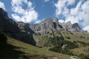
Landschaftspark Binntal
Brunnebiel – Turbe – Mittlenberghütte – Halsesee – Fäld
Open
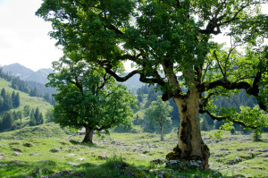
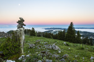
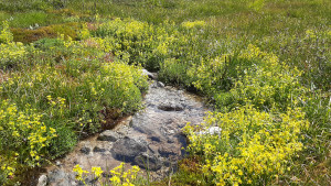
The highlights of the Binner Alpe in one day: alpine pastures, the lonely and mineral-rich valley of the Turbewasser, the high moor on the Blatt and the idyllically situated Halsesee.
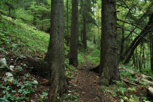
Hiking trail
Time required: 5 hoursLength: 14.40km