Crossing the Pfyn Forest


Season
All season
Naturpark Pfyn-Finges - High biodiversity and a Mediterranean ambiance
Distance 11 km
Time required 3 h
Altitude difference: Ascent 180 m
Altitude difference: Descent 260 m
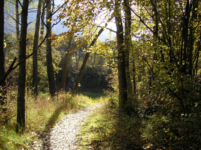
What would the valley floor of Valais look like, if the River Rhone were not channelled? This walk provides the answer and takes you through the biodiversity of a wild river course.
The following highlights await you:
- Illgraben and its enormous masses of debris that are transported away by the Rhone and the gravel plants.
- Rottensand with bonsai pines and steppe vegetation (Camping Monument): the potential shooting location for a Valais western...
- Old arm of the Rhone (Pfyngut junction)
- Old riverside forest (junction of ponds after Dammweg)
- Ponds near to Ermitage (Restaurant Ermitage is currently closed)
- View of the Rhone meanders (hill trail)
Route-information
Route-information
- Length
- 11.00 km
- Vertical heigth
- 80 m
- Altitude difference ascent
- 180 m
- Altitude difference descent
- 260 m
- Time required
- 3 hours
- Level technique
- Easy
- Level condition
- Middle
Details
The hike is possible in both directions.
Signalization
Follow the signposted main walking trail.Arrival
- Starting point
- Leuk Bahnhof (Altitude: 625 m)
- Arrival by public transport
- Leuk, Bahnhof Timetable SBB
- Destination
- Sierre (Altitude: 538 m)
- Arrival by public transport
- Sierre/Siders, gare Timetable SBB
Suitable for
The offer is suitable for
- Adults
- Children >12 years
- 50+