
Parc naturel régional Gruyère Pays-d'Enhaut
Chalet du Soldat
RestaurantHotel
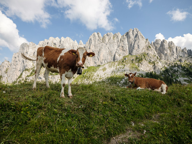
Parc naturel régional Gruyère Pays-d'Enhaut - Vertical north faces and sculpted south-facing slopes
This mountain trail, which starts and ends in Jaun, offers different types of terrain, spectacular landscapes, and incredible biodiversity.
The trail begins with a chairlift ride from Jaun to Mauzes Bergle. Before long, the Chalet du Soldat – the final point of the first stage – comes into view. The path goes through the atmospheric Stillwasserwald, past mighty Swiss stone pines perched on the massive boulders lying at the foot of the steep rock walls. Along the way, you can spot the famous 'Grossmutterloch' [grandmother's hole], an opening in the rock face of the Pfadflue.
The stage after the Chalet du Soldat and its beautiful south-facing terrace leads to the trail's highest point, Wolfs Ort (1,915 m) and is slightly more challenging than the previous stages. From here, the track runs along the southern flank of the Gastlosen, past dry grasslands and screes until it reaches the Chalet Grat at the northern end of the mountain range. From here, the path becomes much steeper and runs down the north face of the Gastlosen to the Mattenwald. The short walk through this shady forest leads backs to Mauzes Bergle. You can make the return journey to Jaun on foot, by chairlift or with a kick scooter.