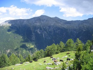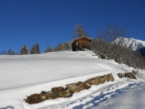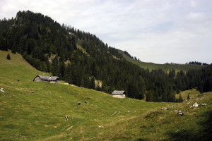


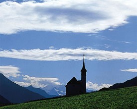
Landschaftspark Binntal
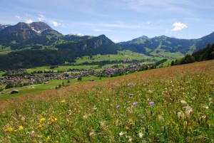
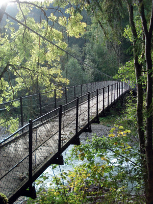
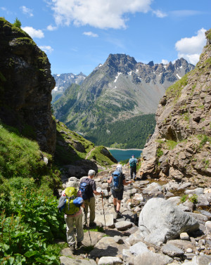
Rhone Route
Open
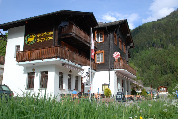
The cycling route runs between Blitzingen and Grengiols through the Binntal landscape park. The regional nature park is famous for its minerals, flora and intact sites. Niederwald, Mühlebach and Ernen are among the most attractive Valais villages.
Bicycle tour
Time required: 5 hoursLength: 50.00km