Brunnebiel – Turbe – Mittlenberghütte – Halsesee – Fäld
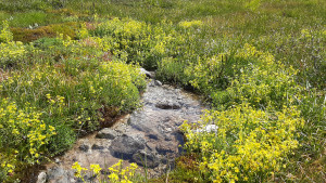
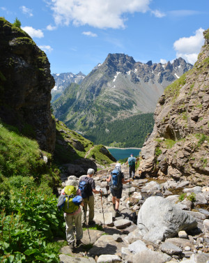
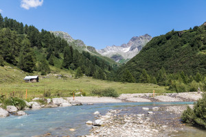
The highlights of the Binner Alpe in one day: alpine pastures, the lonely and mineral-rich valley of the Turbewasser, the high moor on the Blatt and the idyllically situated Halsesee.
Parc naturel régional Gruyère Pays-d'Enhaut - Picture postcard Switzerland: cheese, chalets, snowy summits, cable cars, hotel aromas and scissor cuts. Away from the idyllic image, the Pays d'Enhaut and Saanenland, an impressive landscape enlivened by a VIP aura and canny mountain folk.
From Gruyère , the Saane is followed through the valley with picturesque villages, testimony to the golden age of the cheese trade. Then we cross the Pays- d’Enhaut with numerous streams, a rich architectural heritage and exceptional landscapes.
Beware: busy mainroads Lessoc–La Tine and Rougemont–Saanen

The highlights of the Binner Alpe in one day: alpine pastures, the lonely and mineral-rich valley of the Turbewasser, the high moor on the Blatt and the idyllically situated Halsesee.

Two-day hike: The hike leads through the old hamlet of Fäld to the Albrun Pass, crossing the Italian border to Crampiolo, and back to Fäld via the Geisspfad Pass.

This circular hike takes you from Fäld up to the lush meadows of the Binn Alps on the right, and on the other side of the valley, between partially shady forests, back to Fäld.
To optimise your experience on our website we use cookies. Privacy policy aI agree
