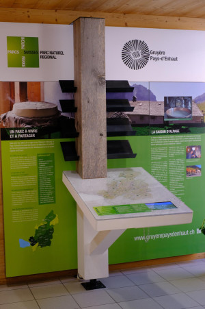
Parc naturel régional Gruyère Pays-d'Enhaut - Two sides, two languages
The hike crosses the lush green landscapes of La Gruyère through the picturesque Pré de L'Essert and its little chapel, through the pristine valley of Les Recardets and on to the upper Sense region and its famous lake, Schwarzsee.
The trail begins in the village of Charmey, from where it continues on to the Village d'en Haut. The next stage involves a steep climb past the deer park to the ridge of the La Vatia mountain. The ascent continues through pastureland and forest (elevation gain: 500 metres) until the Col de Tissiniva. From here, the trail runs downhill to the Rio de l'Essert valley and along the foot of the Dents Vertes up to the Pré de l'Essert. It is worth taking a moment to tour the pretty hillside Chapelle de Saint-Garin and the century-old maple trees.
The route continues uphill on an all-weather road to the Bi Gîto alpine hut, then continues along the side of the Patraflon (1,915 m), before turning downhill towards the picturesque valley of Les Recardets and the Sense watershed. You can see Schwarzsee from here. The last stage is a gentle descent which passes by two alpine inns, the Ober and Untere Recardets, which offer great views. A little further downhill is the Seeweidbach waterfall and its giant dragon, a fun stop before embarking on the last short stretch to Schwarzsee, the day's final destination.