Navigating the Swiss Parks Website
Map
i

Gälenfritz - 1. Etappe

Hiking trail
Time required: 2 hoursLength: 6.70 km

Season

All season

Contact

Business is partner of the park
Regionaler Naturpark Schaffhausen
Hauptstrasse 50
8217 Wilchingen
www.naturpark-schaffhausen.ch

Regionaler Naturpark Schaffhausen - The route offers you a diverse trail with culinary, cultural, scenic and recreational highlights. Visit the Klettgau member municipalities of the Schaffhausen Regional Nature Park

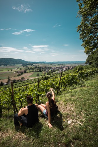
Leave the town of Schaffhausen by the last row of houses and spend the weekend in vineyards, woods and flower meadows. Follow the Romans from former times on their way to Vindonissa and go along the tram route Schaffhausen to Schleitheim. Wonderful views, culinary highlights in the home of the Blauburgunder and accommodation in Schleitheim and Hallau guarantee an exciting weekend. In two days, discover the beauty of the communities that are characterised by wine-growing in the Schaffhausen Regional Nature Park. The public transport system ensures that the trip can be shortened as desired or taken in stages.

Route-information

Route-information

Length
6.70 km
Vertical heigth
271 m
Time required
2 hours
Level technique
Easy
Level condition
Middle
Height profile view map

Details

The Route-Map with descriptions of the trail and the highlights along the way can be downloaded on www.natourpark.ch or can be picked up at the Office of the Regional Nature Park Schaffhausen in Wilchingen or the Tourist Office in Schaffhausen.
(Only available in German)

Infrastructure

  • Picnicplace
  • Fireplace
  • Toilet

Arrival

Starting point
Schaffhausen (Altitude: 403 m)
Arrival by public transport
Schaffhausen, Riet Timetable SBB
Destination
Löhningen (Altitude: 470 m)
Arrival by public transport
Löhningen, Dorf Timetable SBB

Suitable for

The offer is suitable for

  • Adults
  • Children from 7-12 years
  • Children >12 years
  • 50+
  • Families
  • Groups

To discover on the trail

Regionaler Naturpark Schaffhausen

Beringer Randenturm

The 26-metre-high tower, built in 1998, replaced the old tower, which had existed since 1884. Up to the top, 137 steps and six intermediate landings have to be overcome. From the top there is a wide view over Klettgau and the Alps.

Viewpoint

Map