Lakes Route - variation A
Bicycle tour
Length: 45.00 km
Season
All season
Contact
Parc naturel régional Gruyère Pays-d'EnhautPlace du Village 6
1660 Château-d'Œx
Tel. +41 (0)848 110 888
www.gruyerepaysdenhaut.ch
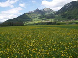
Parc naturel régional Gruyère Pays-d'Enhaut - Picture postcard Switzerland: cheese, chalets, snowy summits, cable cars, hotel aromas and scissor cuts. Away from the idyllic image, the Pays d'Enhaut and Saanenland, an impressive landscape enlivened by a VIP aura and canny mountain folk.
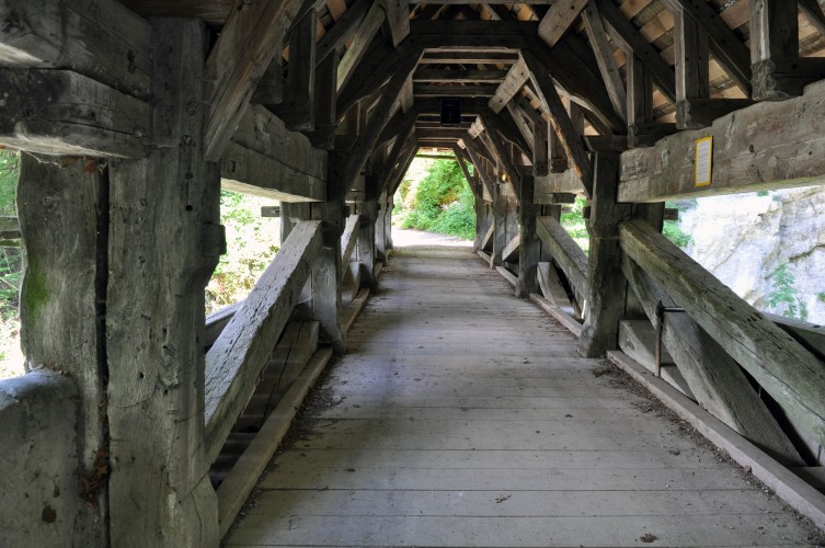
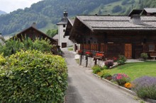
From Gruyères, the Saane is followed through the valley with picturesque villages, testimony to the golden age of the cheese trade. Then we cross the Pays- d’Enhaut with numerous streams, a rich architectural heritage and exceptional landscapes.
Route-information
Route-information
- Length
- 45.00 km
- Altitude difference ascent
- 680 m
- Altitude difference descent
- 400 m
- Level technique
- Middle
- Level condition
- Middle
Height profile view map
Details
Beware: busy mainroads Lessoc–La Tine and Rougemont–Saanen
Arrival
- Starting point
- Bulle (Altitude: 770 m)
- Arrival by public transport
- Bulle Timetable SBB
- Destination
- Gstaad (Altitude: 1054 m)
- Arrival by public transport
- Gstaad Timetable SBB
Suitable for
The offer is suitable for
- Adults
- Children >12 years


