Discovery Trail Alp Flix - not available
The content is revised - On the discovery trail on Alp Flix, children become discoverers and learn a lot about nature.
All season
Parc Ela - The Alp Flix plateau captivates with its wide expanse and the view to Piz Platta. Fertilised and dry grass meadows are intermingled with mountain forest, high and flat moorland with mountain lakes to form a multifarious mosaic.
All season

The content is revised - On the discovery trail on Alp Flix, children become discoverers and learn a lot about nature.

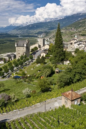
The trail is rich in contrast and offers a unique experience with discovery on both sides of the valley. Experience the Nature Park with the wild romantic Turtmann valley on the left side and the sunny mountains of Leuk on the right.

Start with the cable car ride: Gampel - Jeizinen. From Jeizinen the route leads to Erschmatt and/or Feschel-Guttet. Between Leuk and Varen one crosses the Dala gorge. The descent goes directly down through Salquenen to the railway station at Sierre.
The artists' village of Veyras, where Rainer Maria Rilke lived, the Raspille Gorge, the Valais Wine Museum in the Zumofenhaus in Salgesch and the village of Varen are all well worth seeing. Another possibility goes through the forest of Pfyn/Finges.

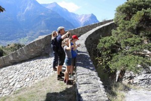
You reach Leukerbad on historical mule tracks and an old railway route past the St. Barbara wayside chapel and over a 16th century bridge. At your destination, a visit to one of the thermal baths is highly relaxing.

High above the Rhone valley, along magical Valais singletracks, discover hidden Alpine charms as you ride past idyllic mountain villages and through cultural landscapes.

The first stage starts well above the Rhone Valley and takes you down to the bottom of the valley with magnificent views over the sunny terraces.

The second stage takes you to wine-growing villages through the Mediterranean vineyard.

This all-mountain tour in the heart of Leukerbad's rocky arena will make mountain bikers' hearts beat faster: breathtaking scenery, magical views and trail action.

The Dala Kultur Bike is the perfect tour for beginners. The route offers a combination of technically easy trails along with various natural and cultural sites.

his day-ride of medium difficulty begins with a short climb up to Torrentalp. A singletrack trail takes you through a stretch of forest destroyed by fire in 2003.

Easy trip from Leukerbad via the idyllic mountain village of Albinen to Leuk. Superb views of the cliffs above Leukerbad and down to the Pfyn/Finges forest in the Rhône valley.
To optimise your experience on our website we use cookies. Privacy policy aI agree
